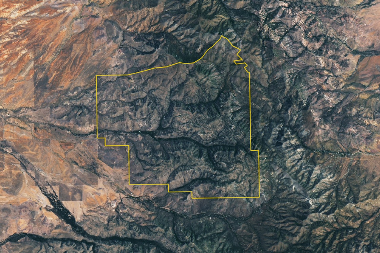
NASA says Chiricahua, long protected as a national monument, was redesignated a national park in October 2026. The region’s pillars and canyons were created after massive volcanic eruptions about 27 million years ago, followed by erosion of thick welded volcanic ash. From orbit, Landsat 9 captures the distinctive contrast between rock ridges and vegetated canyons.
The landscape is an unusually interesting future travel or photography destination: sculptural rock formations, diverse plant communities and the chance to compare ground-level photographs with the satellite image. NASA notes that several major ecological regions meet here, creating a patchwork of desert and mountain habitats.
If an Arizona trip is ever on the calendar, save this as an alternative to the familiar Grand Canyon/Sedona itinerary. For now, open NASA’s annotated image and compare it with the National Park Service trail and access information before assuming any specific route is open.
Save the NASA image and official park page as a future Arizona photography-trip idea.